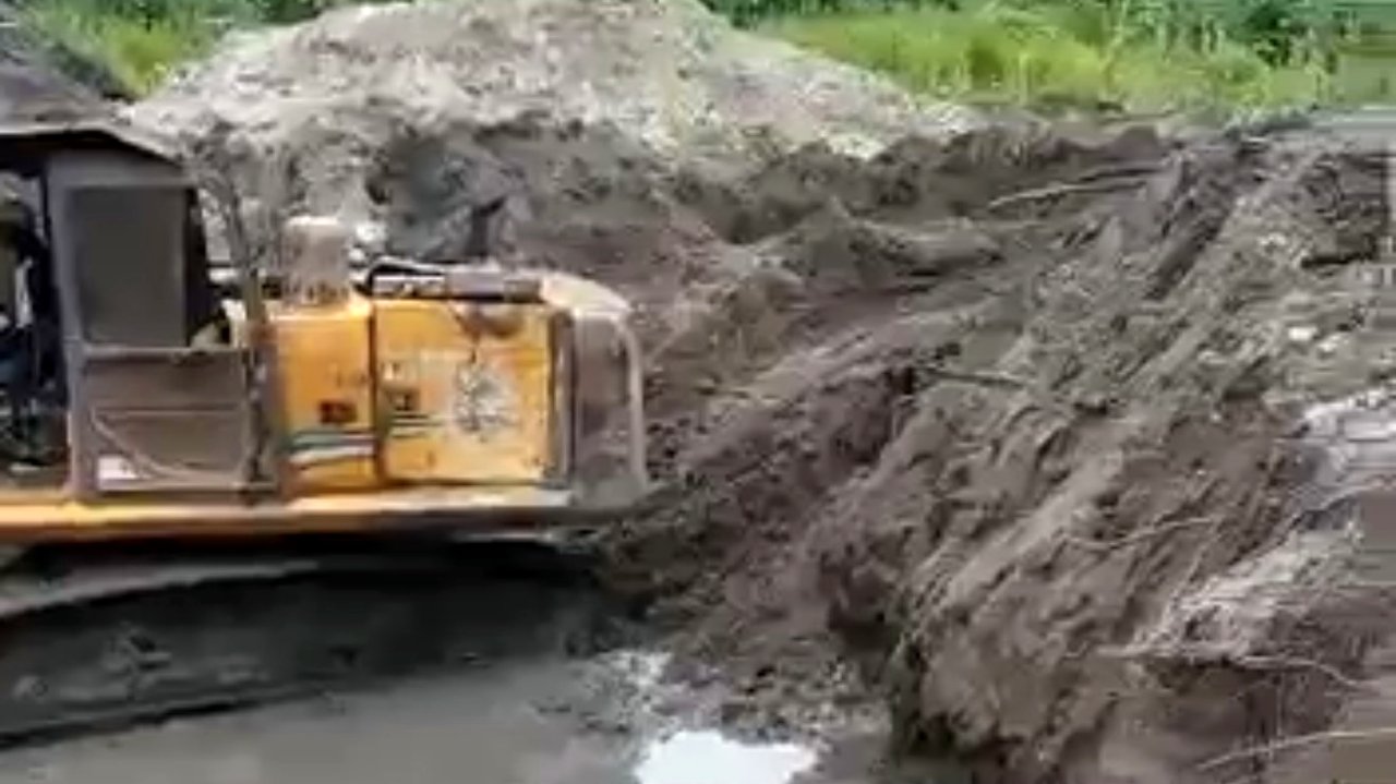
Where we explore the ground
Before any extraction, we survey and map the terrain — locating gold-bearing seams responsibly across our East Cameroon concessions.
Before any extraction, we survey and map the terrain — locating gold-bearing seams responsibly across our East Cameroon concessions.
Drone mapping
Aerial survey of concessions to map terrain, watercourses and potential seams.
Sampling & assay
Systematic sampling and on-site assay to confirm grade before any digging.
Geological survey
Reading the strata to target extraction and minimise disturbed ground.
Resource assessment
Documented assessment of each site to plan production and rehabilitation.
More photos and footage from our exploration sites are being added.
What the ground survey found
A remote-sensing (RSS) survey over the concession mapped several mineralised zones. These are exploration indications, not proven reserves — drilling is required to confirm grade and tonnage.
- ~4 ha
- Concession surveyed · East Region
- Au-1/2/3
- Three detected gold zones
- Ag-1
- One detected silver zone
- ~50 m
- Depth model, under 2–10 m overburden
Conceptual exploration target from remote sensing — to be confirmed by drilling and assay.